WAY MARKING

DISTANCE-DURATION
5 km/2h-15 min
Arni 1 circular
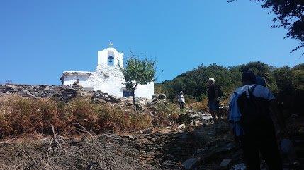
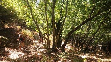
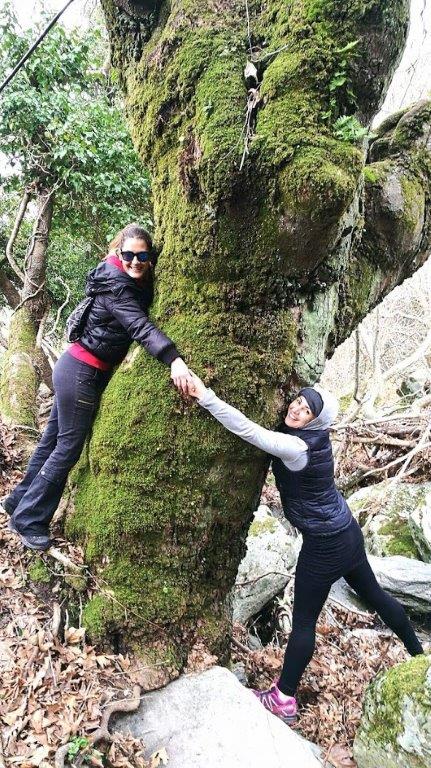
A wooded mountainous route at the the central mountain range of Kouvara, one of the most forested and rich in biodiversity areas of Andros,. The lush tree vegetation, the springs and running water streams of the Arni river, the arched bridge of Epaneinondas, the chapels and churches of Arni are just some of the attractions.
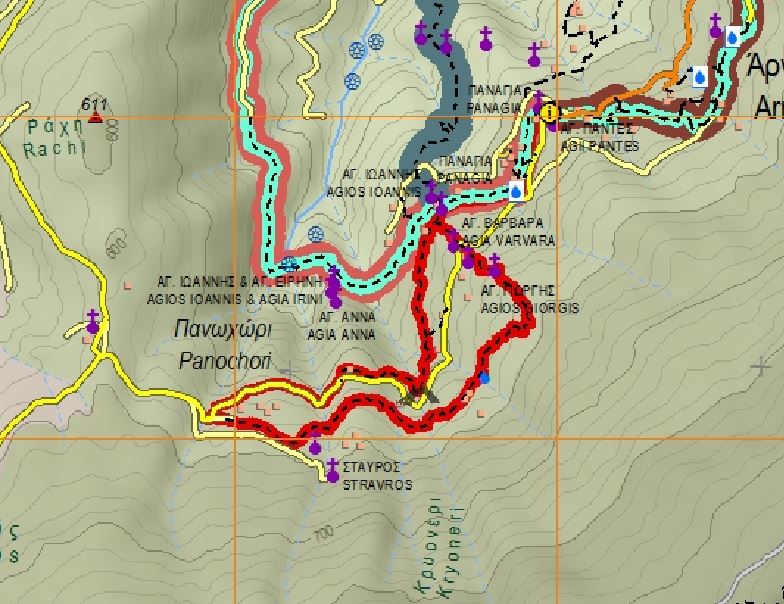
maps & elevation diagram
Click on the map [ ] & & the photos to enlarge
Ascent-Descent
Ascent : 265 m
Descent : 269 m
Starting/ending point
Start/Ending point: Arni Virgin Mary church (Panagia) next to the School of Arni
Transportation-Parking
Transportation : with private means to the starting point (return via the same route)
taxi cost about €30 from Gavrio – €25 from Batsi- €35 from Chora (2019 price level)
Gavrio Taxi station +30 2282 0 71561
Batsi Taxi station +30 2282 0 41081
Chora Taxi station +30 2280 0 22171
Parking : there is ample space on the starting point
Drinking water
in Arni
Route condition
open & way marked
check the last clearing here…..
Useful advice
- The route has some steep parts, many fallen leaves from the trees and some parts with running water so it can be muddy and slippery, attention is needed
- The route coincides with route 11 at its first part
Lodge & Food
Closest lodge : Arni, Katakilos, Batsi, Gavrio, Chora
Closest restaurants : Katakilos, Batsi, Gavrio, Chora


