• way marking

  • Distance-Duration

    Per1 – 2,7 km/1h-15 min

    Per2 – 3,7 km/2h


  • Pera Choria 1 & 2 ( circular )

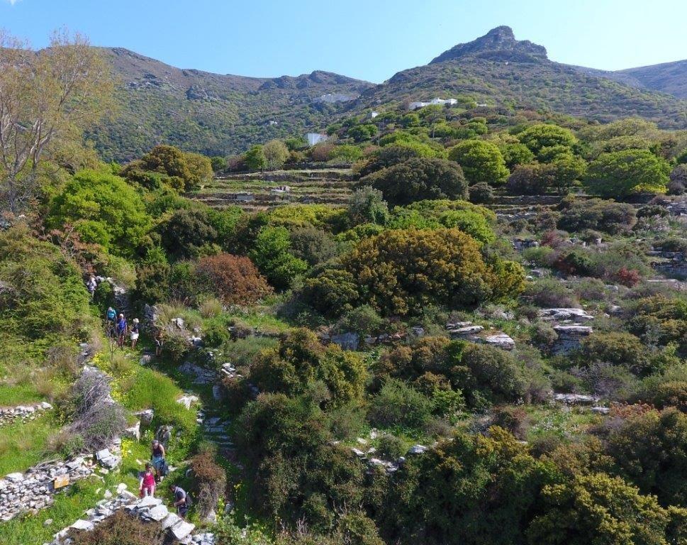
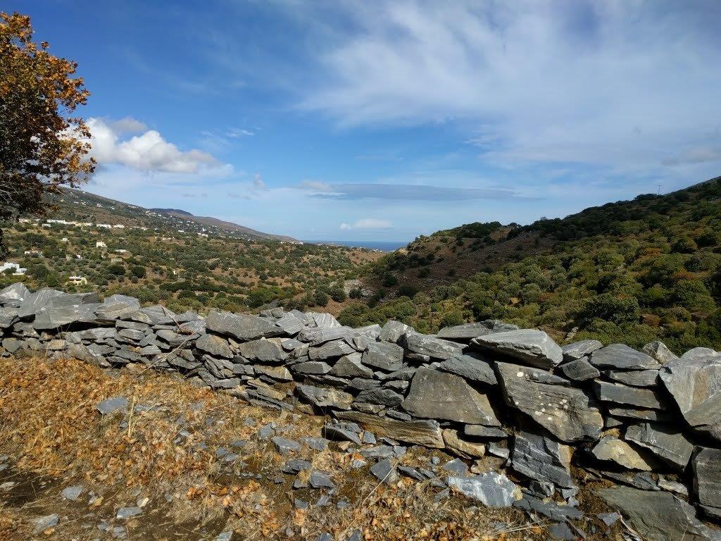
    Wonderful green circular exploration route of the Aladinou-Koureli-Fallika valley at the foot of the Gerakones mountain range. Aladinou cave, the impressive limestone cobblestones, the wooded sections with the springs and the picturesque settlements overlooking the valley of Mesaria and the eastern coastline are some of the attractions.

  • Elevation-Difficulty

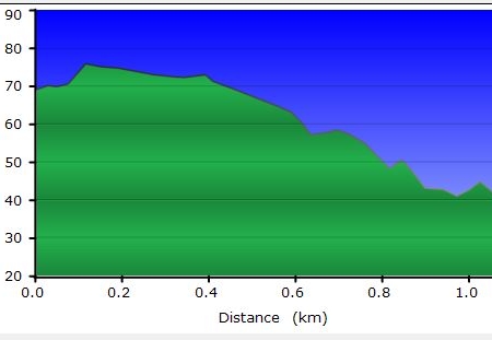
    Per 1- 136 m min / 242 m max  diff/106 m

    Per 2- 136 m min / 287 m max  diff/151 m

    activity-icon-hiking medium difficulty- difficult in some parts longDistanceHikingTrail.small

  • Αscent-Descent

    Per1/ Per2 – Αscent :  130 m

    Descent: 218 m

  • Starting/Ending Point

    Starting Point: Point START on our map

    Ending Point: Point END on our map

  • Transportation

    Transportationwith private means to the starting point (return via the same route)

    Chora taxi station +30 2282 0 22171

  • Drining Water

    Aladinou, Koureli, Sasa

  • Route condition

    open & way marked

    check the last clearing here…..

  • Useful advice

  • Lodge & Food

    Closest lodge:

    Closest restaurants:

Deze route is prima bewegwijzerd door onze ‘route engelen’, vrijwilligers die de paden opruimen, schoonhouden en die de bordjes in de gaten houden.
De wandelkaart (inclusief bonuslink met gpx gegevens van ALLE wandelingen op Andros) is een mooi hulpmiddel. De kaart inclusief deze gpx bonus is te koop bij Reisboekhandel De Zwerver in Groningen (via internet).(€14.95)