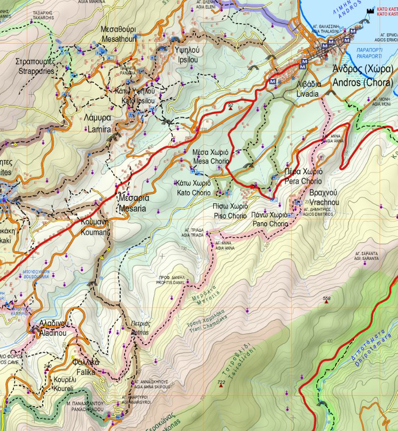
Chora-Ypsilou-Lamyra-Menites-Stoicheiwmeni bridge-Panachrados Monastery
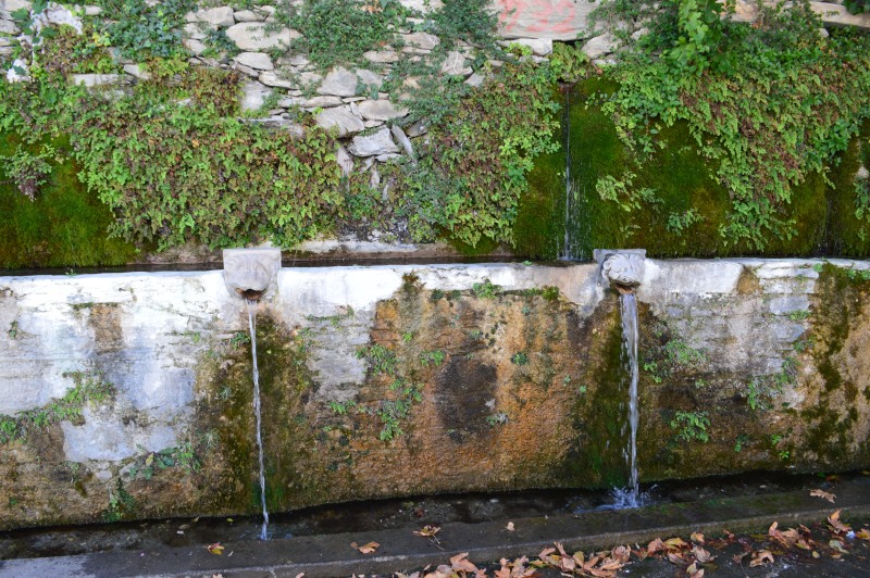
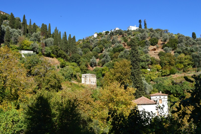
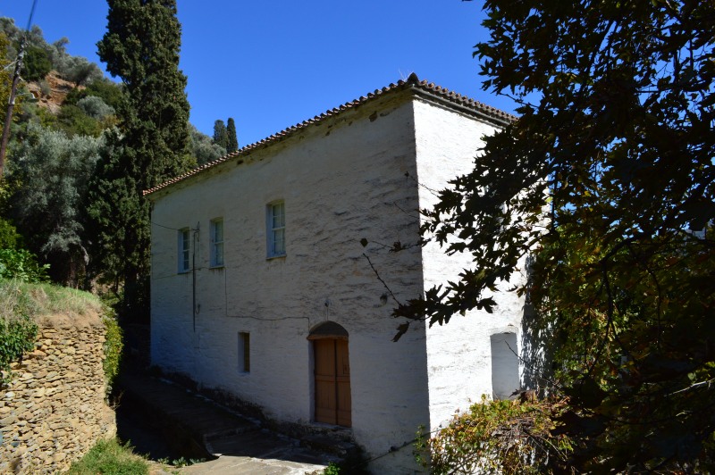
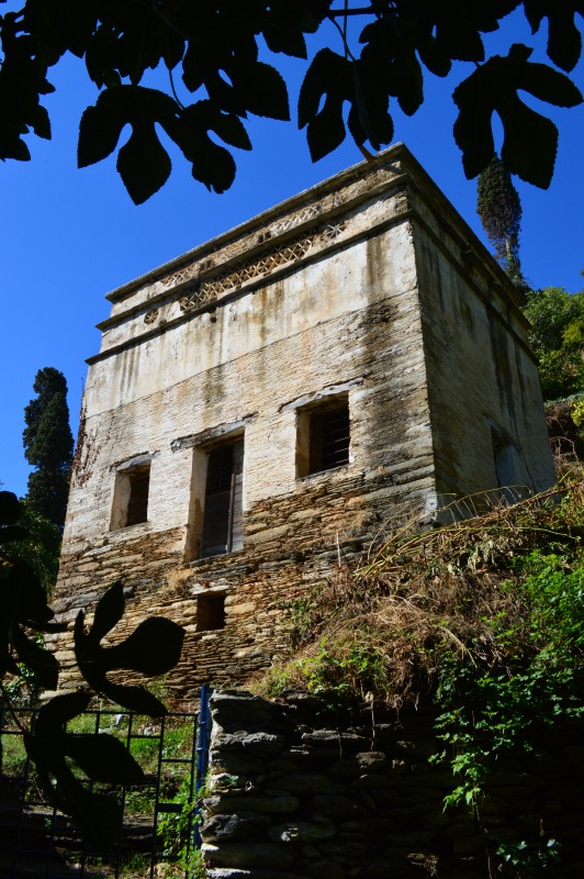
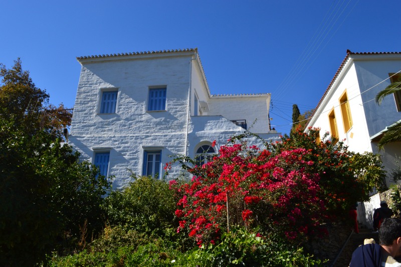
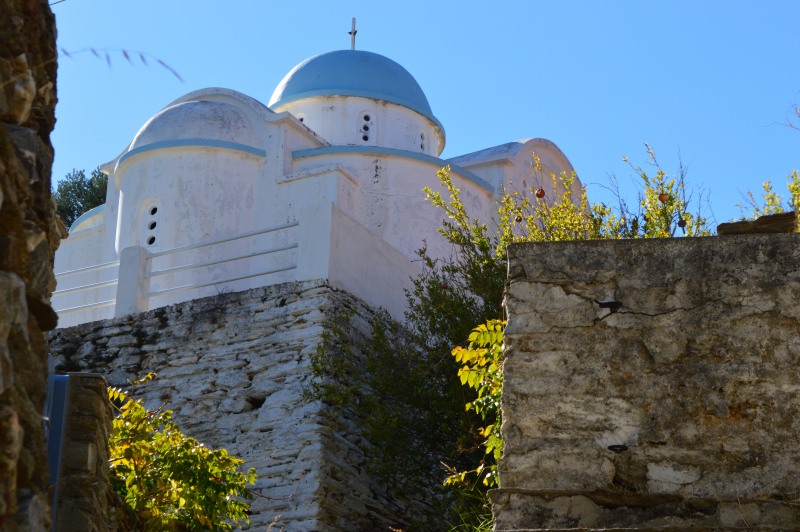
A beautiful route to explore the green picturesque villages around Chora ending at the Castle-Monastery of Pahachrados at the second highest mountain range of Andros, Gerakonas. Well-crafted stone paved path, impressive dry stone walls and buildings, bridges, numerous springs and churches, the arched bridge of Stoicheiomeni (the Haunted) and the Monastery are some of the attractions.
ACCESS- ROUTE CONDITION
Port of Chora Nimporio, road by the river, (alternatively: main road to Mesaria (Kairis tower), Menites (springs), Panachrantos Monastery
Route condition: open
DISTANCE-DURATION
11.5 km / 4½ hours
DRINKABLE WATER-FOOD
Water ar every settlement from Chora to Menites and at the Monastery. Food at Chora, Menites and the Monastery


